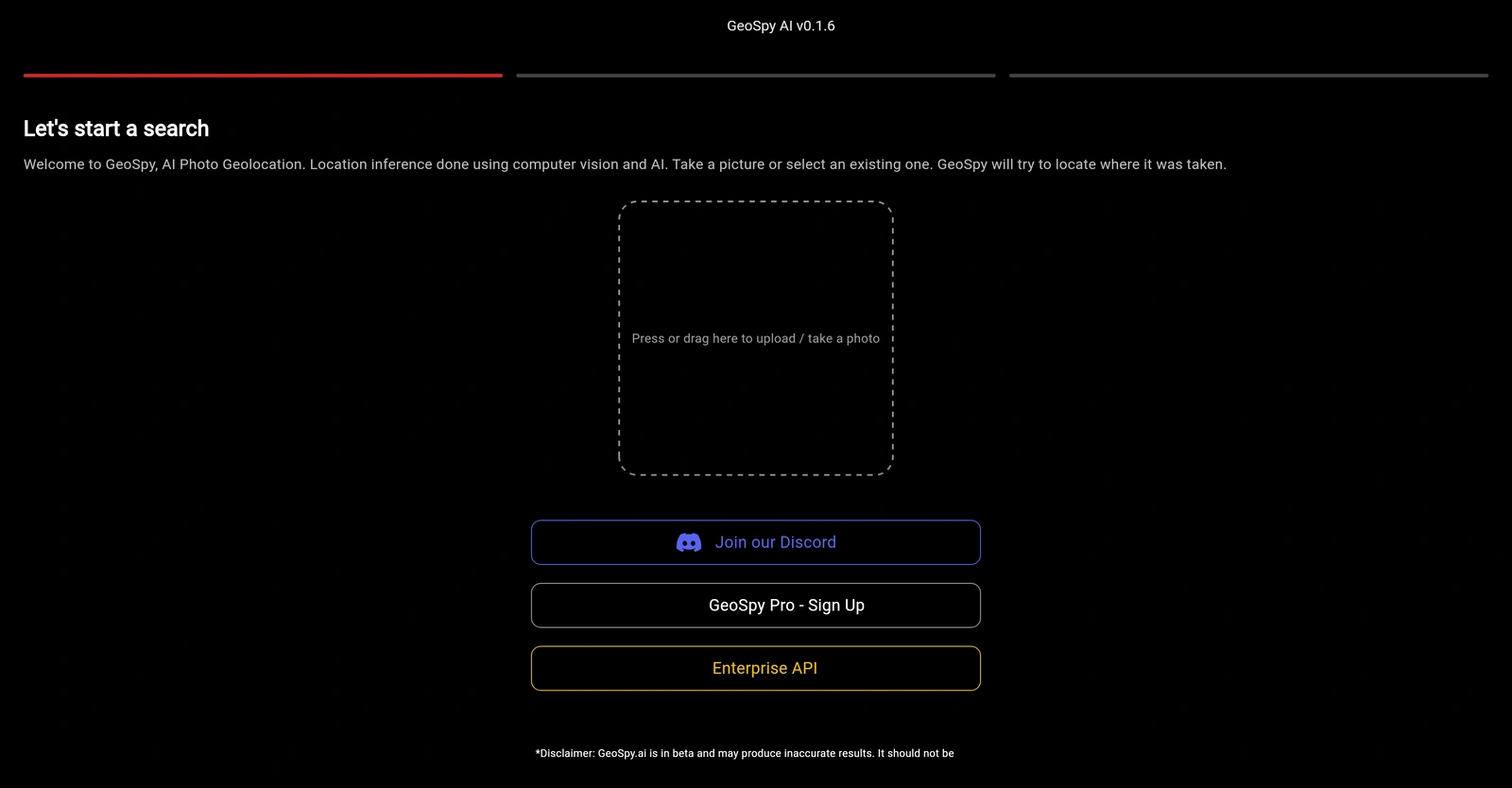
GeoSpy.ai is a computational tool leveraging artificial intelligence to provide in-depth insights into geospatial data. It brings together geographic information systems and sophisticated AI technology, facilitating detailed analysis of location-based data. The tool is capable of handling a variety of complex tasks, which may include satellite imagery analysis, predictive modeling, and detection of patterns in vast data sets. An integrative system at its core, GeoSpy.ai offers functionality to form correlations and draw meaningful conclusions from disparate geographic data points. Its advanced algorithms can learn and adapt with time, progressively improving their accuracy in discerning patterns or trends. Beneficial for numerous industries, GeoSpy.ai finds applications in various sectors, from environmental research to urban development. This AI-powered platform holds the potential of empowering users with more intuitive solutions for navigating and understanding geographical data. It works with the key principle of transforming raw, unstructured geospatial data into actionable intelligence, providing a powerful resource for decision-making.

Description
Get to know the latest in AI
Join 2300+ other AI enthusiasts, developers and founders.
Thank you!
You have successfully joined our subscriber list.
Add Review
Pros
Actionable intelligence provision
Complex task handling
Environment research application
Forming correlations from disparate data
Geo intelligence
Improves accuracy over time
In-depth geospatial data insights
Meaningful conclusion derivation
Pattern detection in BigData
Predictive modeling capability
Resourceful for decision-making
Satellite imagery analysis
Transforms unstructured geographical data
Trend analysis
Urban development application
User empowerment
Wide-sector application
Cons
Adaptive algorithms might cause variability
complex data sets
Limited to geospatial data only
May struggle with non-standard data
No explicit sector customization
No mention of data security
No mention of real-time analysis
Possibly overwhelming for beginners
Potentially high computational requirements
Requires large
complex data sets
Limited to geospatial data only
May struggle with non-standard data
No explicit sector customization
No mention of data security
No mention of real-time analysis
Possibly overwhelming for beginners
Potentially high computational requirements
Requires large
Alternatives
Promote Your AI Tool
Get seen by thousands of AI enthusiasts, founders & developers.
- Homepage, Search and Sidebar Ads
- Featured Placements
- Click Stats & more
AI News


Leave a Reply